I’m still learning this blogging thing. While walking, I think of so much to write about. But when I wait a week or longer to put a post together, I find myself at a loss. So this will be picture heavy and words light.
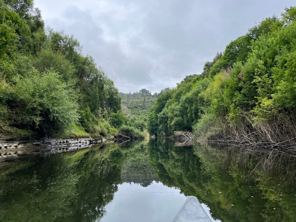
The Whanganui River was a much anticipated section. The trail is the river (the river is the trail), and a hiker must canoe down it or get on a jet boat if canoeing is not their jam. I’ve canoed a good bit so was looking forward to this section. I thought I took a lot of pictures during the river float but apparently I didn’t. How did I not photograph the gorge that we went through? Dark cliffs sides rising up hundreds of feet on each side. The river had nice flat sections, backed up by the top of rapids that I knew where just ahead. The technical aspect was a bit higher than I expected, certainly 2+ and class 3 even.


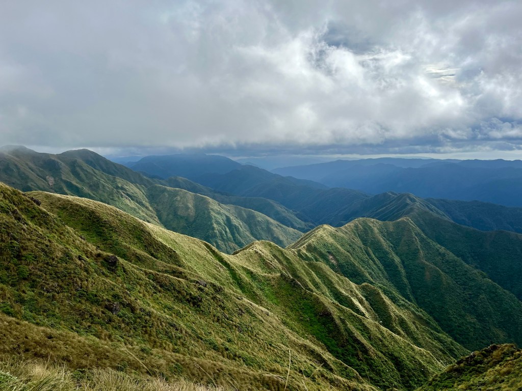
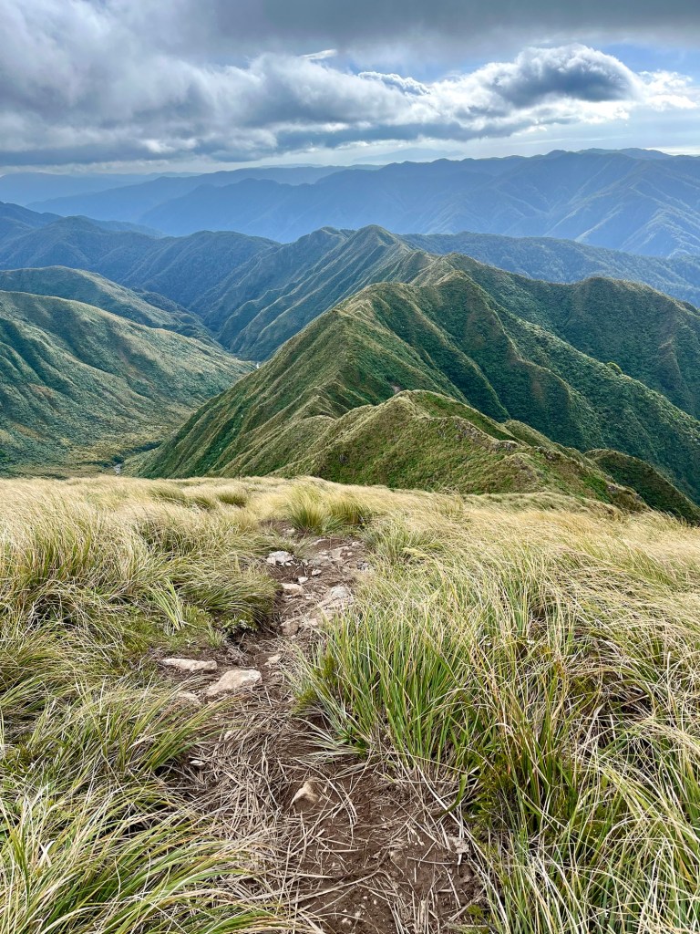
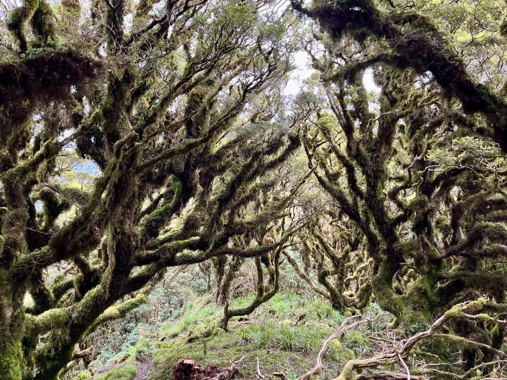
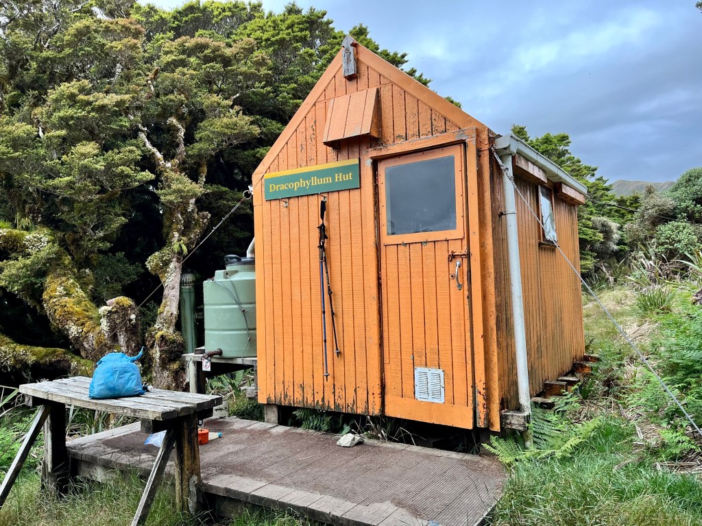
The Tararua Range deserves its own post, but this will have to do. This was a really gorgeous section. It can be a dangerous area, as weather can change almost instantly and can get very windy and very cold and very wet. I camped at the base and was attentive to the forecast. I had planned on doing the hike up and over in three days, and the third day showed some possible rain. When I got to Plan A hut, I rechecked the weather and the third day looked to be deteriorating, so I kept hiking to the next hut (Plan B hut) thus allowing me to do the hike in two days instead of three. Avoiding bad weather is better than being stuck waiting in a hut.


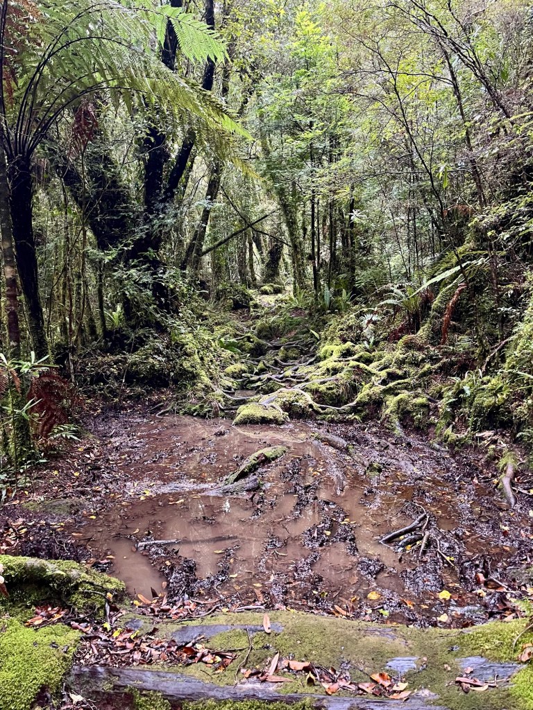
Hiking the Tararuas was fun. There were a few scrambly sections, but it was all within my comfort level. I can let anxiety get ahead of me, especially when I listen to other fear mongering hikers.


With all the climbing and anticipation of the top of Mt Crawford, I expected some sort of big stone monument to celebrate the achievement. But no, a stick in a metal pipe would have to do.

For some reason I envisioned the decent to be the hard part; full of vertical rock to cling onto and letting myself down slowly. I refused to be afraid of this though. My friend Cheeks gave me no horror stories of the Tararuas, just said to ‘take it slow.’ If she thought I could do it, then I could do it. As I approached the edge of the steep decent, I was relieved to see that it was beautifully forested. The idea of hanging onto trees and tree roots on the way down was more comforting than rock climbing with a pack on. All went well, but after about 4800 feet of steep decent, my knees were ready for a rest.


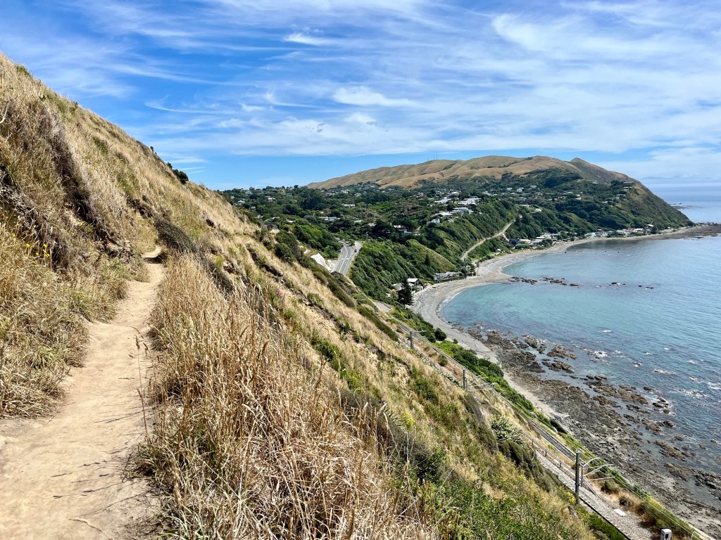
The Escarpment Track escaped my notice until I was on it. It was steep, both in front of me and beside me. The hardest part was the heat though. I checked the weather and Wellington was 74 deg F that day, but the lack of a breeze and the humidity had me seating buckets. The views were the bomb though.


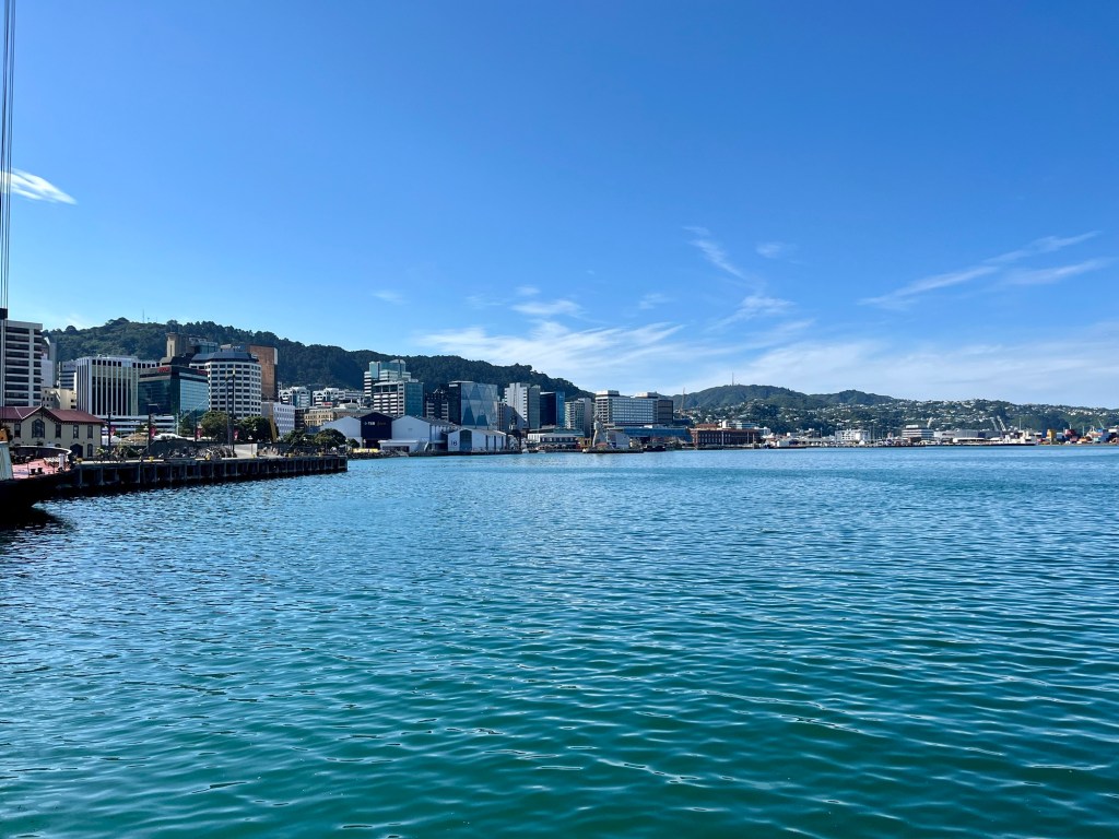
Wellington!!! I was so excited to get to Wellington; and as cities go, Wellington is one of the more beautiful ones I’ve been to. It constantly reminded me of San Francisco. It’s hilly, with houses in nooks and crannies. The architecture is even similar. But Wellington is much warmer and well, also much cleaner and with very few homeless folks. I saw one panhandler, no homeless encampments. Where they are is a mystery to me.
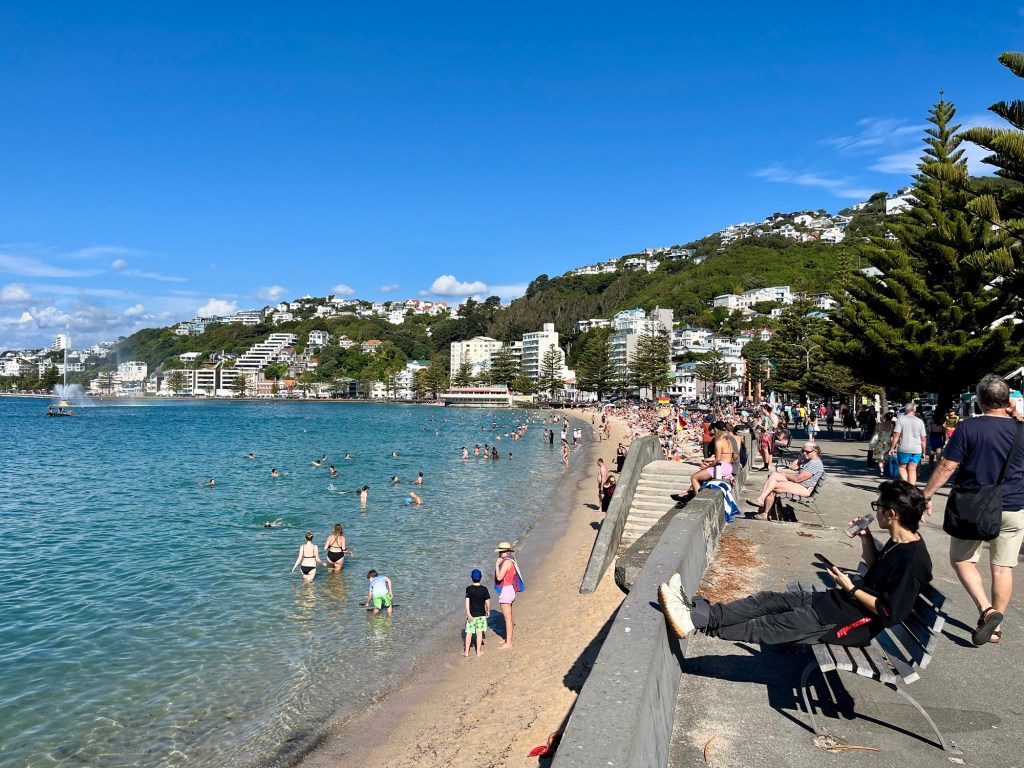
It was a warm day and a holiday in Wellington (its anniversary), so it was a buzz of people swimming and walking along the warf.


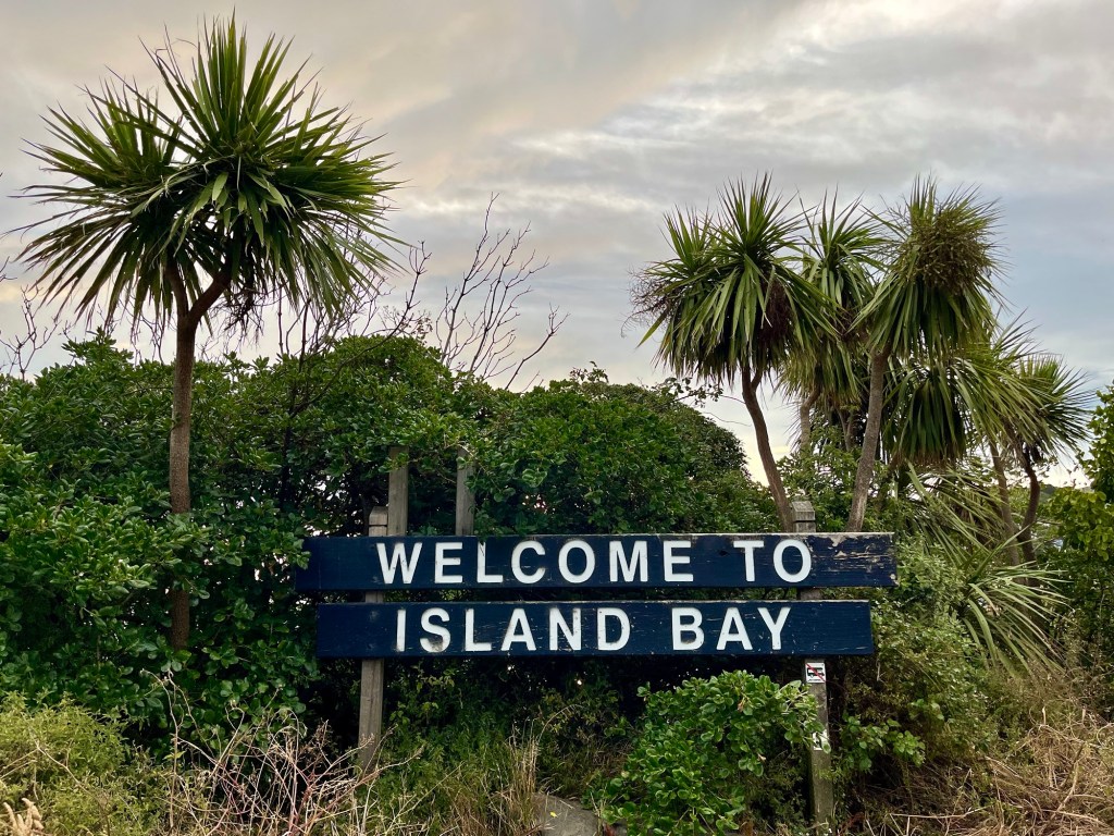
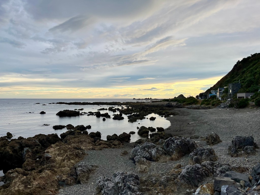
up and another couple of hills to Island Bay, a marine sanctuary and the end of the trail. An absolutely beautiful spot in which to end the North Island.


Leave a comment