I arrived in Kaitai (most northern town by air) on 11/28/23. Hit the grocery store for my first of many over supplies of food and made my way north. Used a taxi for part way, then hitched. The trail normally starts at the very northern tip, Cape Reinga. However the first 20 km of trail, was closed due to heavy storms unearthing some sacred Mauri graves, so my start was at Te Paki Stream, which meats the Tasman Sea at the Te Paki Sand Dunes. I found this a perfectly lovely start to the hike; surreal, as dunes can be.
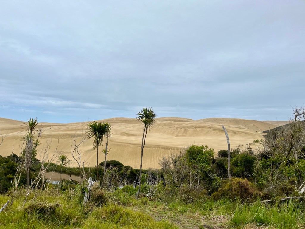
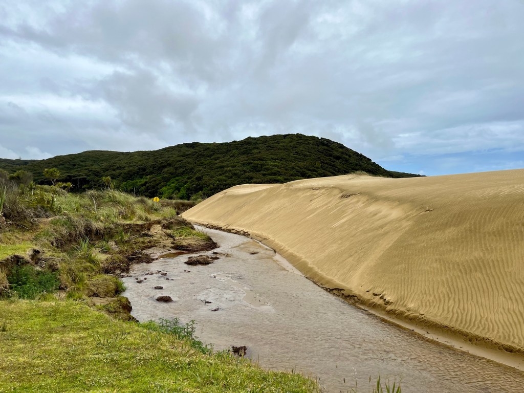
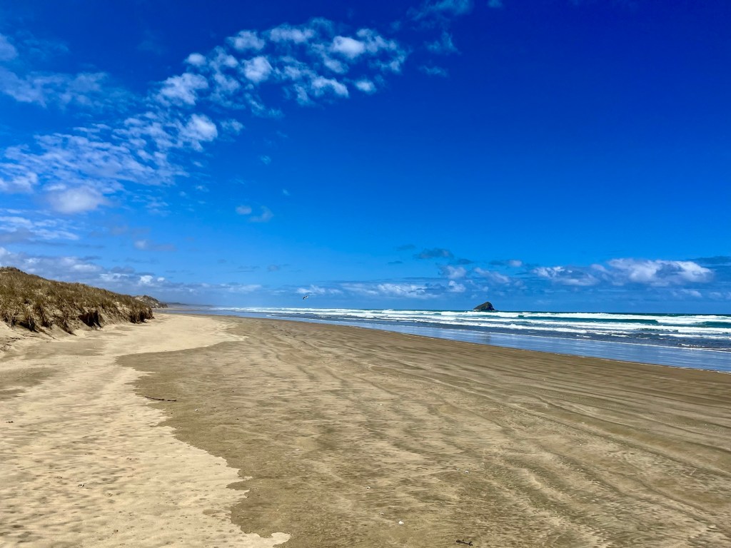
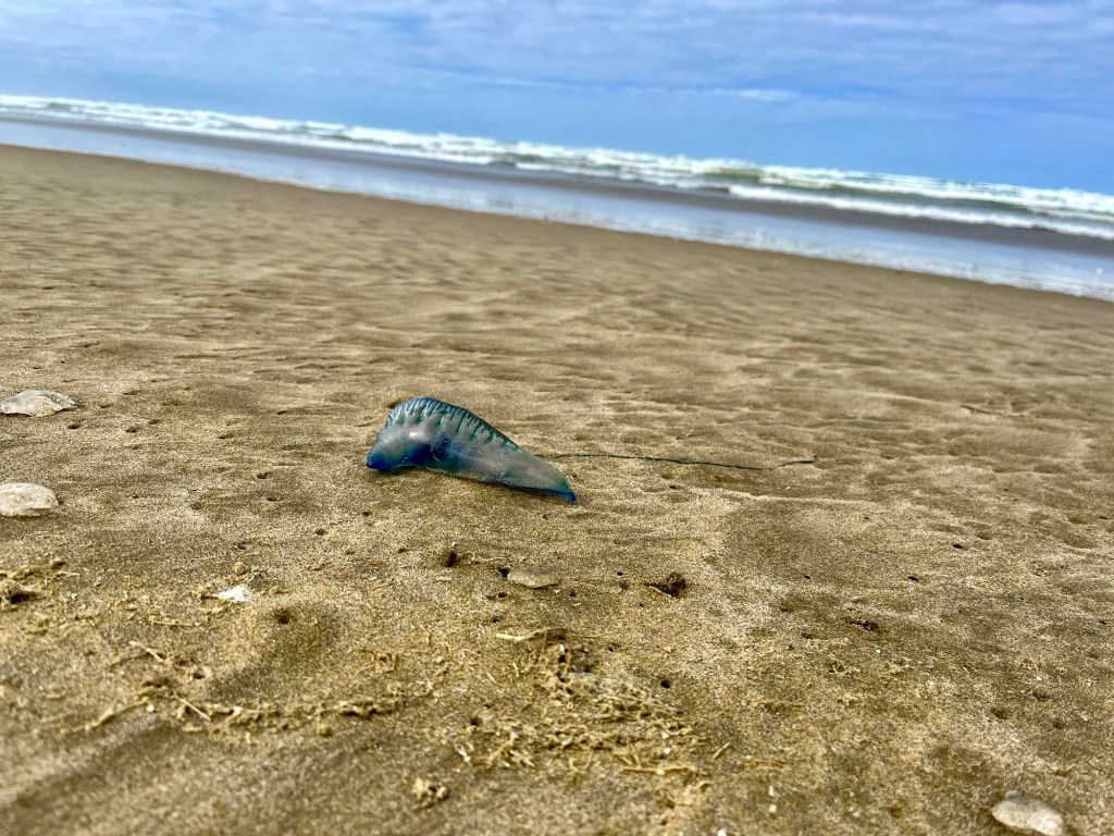
Te Paki Stream is also the northern start of the Ninety Mile Beach. This is a bit of a misnomer, as the beach is actually 101 km, roughly 63 miles. Regardless, 101 km is a long stretch of beach. Most hikers seem to dislike this stretch, as it can be monotonous and hard on one’s feet, knees and hips. I however, found it quite nice, probably because of some residual fitness from hiking the CDT this last summer. I kept my mind busy by observing the many bits of things washed up, tidal changes (that one needs to time correctly for walking at lower tides), the inland Aupouri Forest, wild horses, rare feral dog prints (one of the few animal to fear in northern NZ), waves and clouds. My feet did well, as I’ve pretty much dialed in my shoes and socks system (a friend both loved and laughed at the term ‘sock system’).

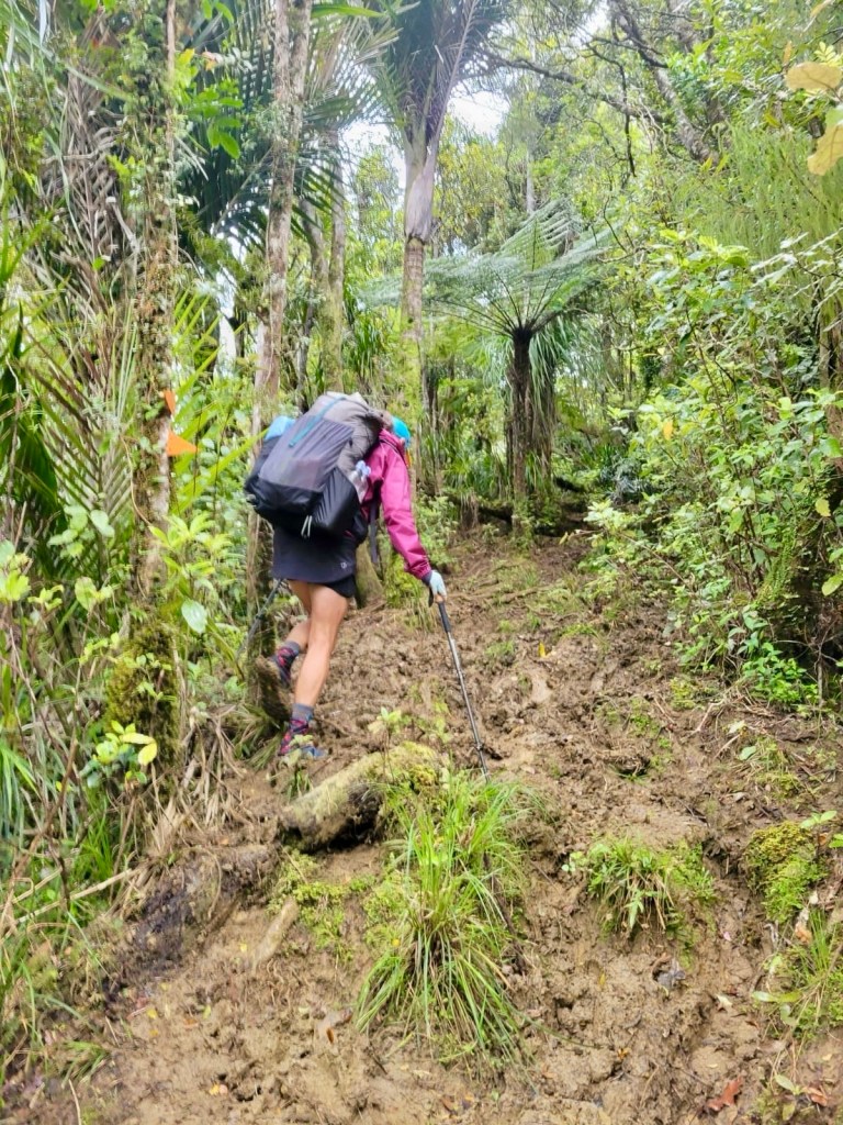
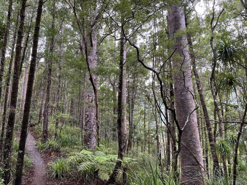
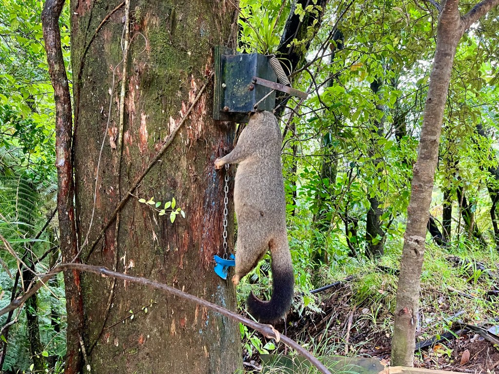
After Ninety Mike Beach, I stayed in Ahipara then road walked/hitched (due to dangerous road) to Kaitai for another resupply (oversupply) and headed to the Raetea and Mangamuka Tracks. I had fretted over both of these tracks, as there were many comments on Far Out (a mobile phone map app that enables hiker comments at water sources, camping spots etc etc) saying that it was incredibly muddy and even ‘dangerous’, and the trail notes warned that the Waipapa River could flash flood etc etc etc. 😬 The Raetea Track was gorgeous though. Muddy, yes. Dangerous, no. The track up Mangapukahukahu Stream to Waipapa River was tame and amazing; one of my favorite parts of the trail. Lucky me! The scrappy (‘dangerous’) trail along the bank to the Pukatea Ridge trail was just challenging enough to be fun (if it had been raining, my assessment might be quite different). Just as I hit the Pukatea Ridge Trail, the sky opened up to a torrential rain! The ridge was home to a Kauri preserve, and was full of large specimens of this giant tree. Some tracks in Kauri forests are closed to hiking due to Kauri die back, an incurable fungal disease that may be indirectly due to the profound decline of birds in NZ (due to invasive Australian possums, stoats (weasel), rats and hedgehogs. Widespread poisoning and trapping is seen along trails, as NZ tries to beat back invasive species in hopes of regaining its native bird populations.


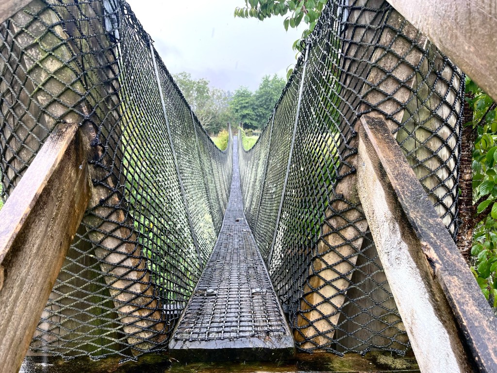
After much (much!!) road walking, the trail took me through Kerikeri and over the Bay of Islands, which is a particularly stunning part of New Zealand. At the southern end of this region, the ‘trail’ crosses Waikare Inlet, by kayak. I was thrilled at this! I mean, how many trails have a boating section (and later, a biking and canoe sections)! After more road walking (!), I reached Nguruguro, where the trail wanders along a tidal mangrove forest. Low tide is a must. I loved this section as well, mangrove mud and all.


Leave a comment